
Tecuala topographic map
Interactive map
Click on the map to display elevation.
About this map
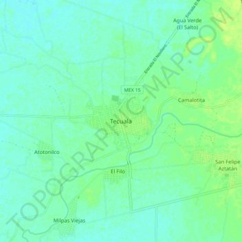
Name: Tecuala topographic map, elevation, terrain.
Location: Tecuala, Nayarit, 63454, México (22.35786 -105.49724 22.43786 -105.41724)
Average elevation: 33 ft
Minimum elevation: 16 ft
Maximum elevation: 59 ft