
Bramsche topographic map
Interactive map
Click on the map to display elevation.
About this map
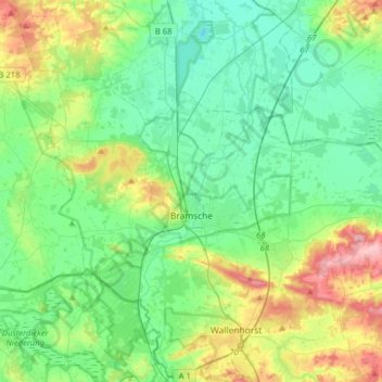
Name: Bramsche topographic map, elevation, terrain.
Location: Bramsche, Landkreis Osnabrück, Lower Saxony, 49565, Germany (52.35914 7.84218 52.48105 8.15879)
Average elevation: 213 ft
Minimum elevation: 95 ft
Maximum elevation: 531 ft