
Puente la Reina topographic map
Interactive map
Click on the map to display elevation.
About this map
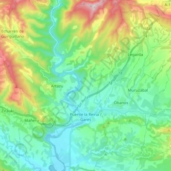
Name: Puente la Reina topographic map, elevation, terrain.
Location: Puente la Reina, Navarra, España (42.63751 -1.85013 42.74574 -1.78358)
Average elevation: 1,601 ft
Minimum elevation: 1,076 ft
Maximum elevation: 2,976 ft