
St. Mary topographic map
Interactive map
Click on the map to display elevation.
About this map
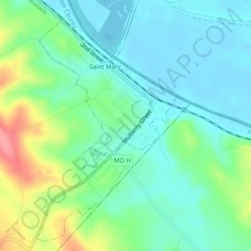
Name: St. Mary topographic map, elevation, terrain.
Location: St. Mary, Sainte Genevieve County, Missouri, United States (37.86013 -89.95867 37.88506 -89.93943)
Average elevation: 443 ft
Minimum elevation: 358 ft
Maximum elevation: 659 ft