
Marengo topographic map
Interactive map
Click on the map to display elevation.
About this map
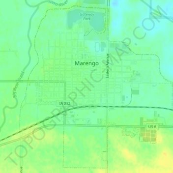
Name: Marengo topographic map, elevation, terrain.
Location: Marengo, Iowa County, Iowa, United States (41.78227 -92.08463 41.80988 -92.04530)
Average elevation: 745 ft
Minimum elevation: 709 ft
Maximum elevation: 784 ft