
Redwood topographic map
Interactive map
Click on the map to display elevation.
About this map
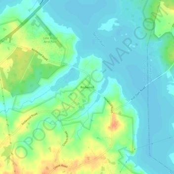
Name: Redwood topographic map, elevation, terrain.
Location: Redwood, Durham County, North Carolina, United States (36.02709 -78.79139 36.06709 -78.75139)
Average elevation: 282 ft
Minimum elevation: 243 ft
Maximum elevation: 364 ft