
Hugoton topographic map
Interactive map
Click on the map to display elevation.
About this map
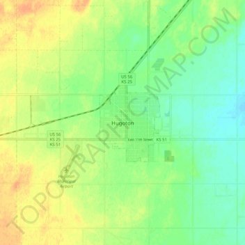
Name: Hugoton topographic map, elevation, terrain.
Location: Hugoton, Stevens County, Kansas, 67951, United States (37.13530 -101.38960 37.21530 -101.30960)
Average elevation: 3,120 ft
Minimum elevation: 3,071 ft
Maximum elevation: 3,173 ft