
Val Verde topographic map
Interactive map
Click on the map to display elevation.
About this map
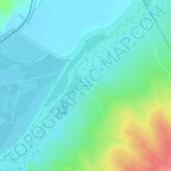
Name: Val Verde topographic map, elevation, terrain.
Location: Val Verde, Socorro County, New Mexico, United States (33.68266 -106.94881 33.72266 -106.90881)
Average elevation: 4,541 ft
Minimum elevation: 4,478 ft
Maximum elevation: 4,757 ft