
Sandy Pond topographic map
Interactive map
Click on the map to display elevation.
About this map
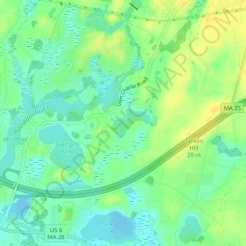
Name: Sandy Pond topographic map, elevation, terrain.
Average elevation: 36 ft
Minimum elevation: -16 ft
Maximum elevation: 75 ft
Other topographic maps
Click on a map to view its topography, its elevation and its terrain.
Wareham
United States > Massachusetts > Plymouth County > Wareham > Wareham
Wareham, Plymouth County, Massachusetts, 02571, United States
Average elevation: 33 ft