
Olivenhain topographic map
Interactive map
Click on the map to display elevation.
About this map
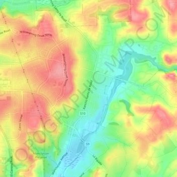
Name: Olivenhain topographic map, elevation, terrain.
Average elevation: 194 ft
Minimum elevation: 23 ft
Maximum elevation: 348 ft
Other topographic maps
Click on a map to view its topography, its elevation and its terrain.
Leucadia
United States > California > San Diego County > Encinitas > Leucadia
Leucadia, Encinitas, San Diego County, California, 92011, United States
Average elevation: 82 ft