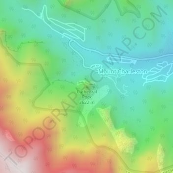
Cathedral Rock topographic map
Interactive map
Click on the map to display elevation.
About this map
Name: Cathedral Rock topographic map, elevation, terrain.
Average elevation: 8,501 ft
Minimum elevation: 7,274 ft
Maximum elevation: 10,820 ft

Click on the map to display elevation.
Name: Cathedral Rock topographic map, elevation, terrain.
Average elevation: 8,501 ft
Minimum elevation: 7,274 ft
Maximum elevation: 10,820 ft