
Minneola topographic map
Interactive map
Click on the map to display elevation.
About this map
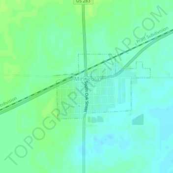
Name: Minneola topographic map, elevation, terrain.
Location: Minneola, Clark County, Kansas, United States (37.43708 -100.02107 37.44721 -100.00264)
Average elevation: 2,559 ft
Minimum elevation: 2,543 ft
Maximum elevation: 2,575 ft