
Hitchcock topographic map
Interactive map
Click on the map to display elevation.
About this map
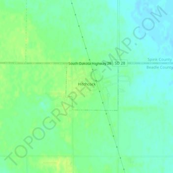
Name: Hitchcock topographic map, elevation, terrain.
Location: Hitchcock, Beadle County, South Dakota, United States (44.62560 -98.41416 44.63300 -98.40266)
Average elevation: 1,332 ft
Minimum elevation: 1,306 ft
Maximum elevation: 1,362 ft