
Groton City Limit topographic map
Interactive map
Click on the map to display elevation.
About this map
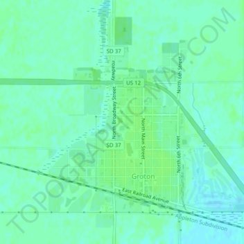
Name: Groton City Limit topographic map, elevation, terrain.
Location: Groton City Limit, Brown County, South Dakota, United States (45.44158 -98.11376 45.46495 -98.07750)
Average elevation: 1,306 ft
Minimum elevation: 1,289 ft
Maximum elevation: 1,319 ft