
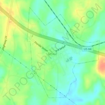
Roxie topographic map
Interactive map
Click on the map to display elevation.
About this map
Name: Roxie topographic map, elevation, terrain.
Location: Roxie, Franklin County, Mississippi, 39611, United States (31.49333 -91.07663 31.51661 -91.05480)
Average elevation: 249 ft
Minimum elevation: 194 ft
Maximum elevation: 331 ft