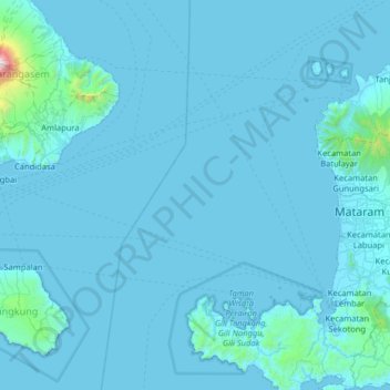
Lombok Strait topographic map
Interactive map
Click on the map to display elevation.
About this map
Name: Lombok Strait topographic map, elevation, terrain.
Average elevation: 217 ft
Minimum elevation: -3 ft
Maximum elevation: 9,160 ft

Click on the map to display elevation.
Name: Lombok Strait topographic map, elevation, terrain.
Average elevation: 217 ft
Minimum elevation: -3 ft
Maximum elevation: 9,160 ft