
Midlands Dam topographic map
Interactive map
Click on the map to display elevation.
About this map
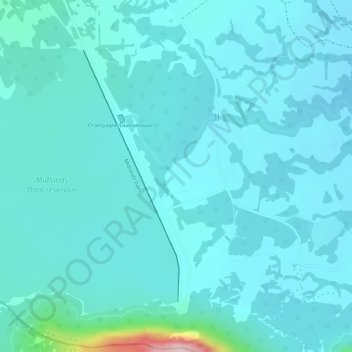
Name: Midlands Dam topographic map, elevation, terrain.
Location: Midlands Dam, Moka, Mauritius (-20.33067 57.59153 -20.31139 57.59934)
Average elevation: 1,286 ft
Minimum elevation: 1,181 ft
Maximum elevation: 2,011 ft