
Kelantan River topographic map
Interactive map
Click on the map to display elevation.
About this map
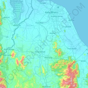
Name: Kelantan River topographic map, elevation, terrain.
Location: Kelantan River, Kampung Paloh, Tanah Merah, Kelantan, Malaysia (5.52095 102.10375 6.22347 102.25033)
Average elevation: 233 ft
Minimum elevation: -7 ft
Maximum elevation: 3,002 ft