
Leonardo topographic map
Interactive map
Click on the map to display elevation.
About this map
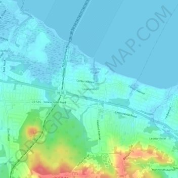
Name: Leonardo topographic map, elevation, terrain.
Location: Leonardo, Monmouth County, New Jersey, 07737, USA (40.39733 -74.08208 40.43733 -74.04208)
Average elevation: 43 ft
Minimum elevation: -10 ft
Maximum elevation: 223 ft