
Gunung Lawu topographic map
Interactive map
Click on the map to display elevation.
About this map
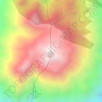
Name: Gunung Lawu topographic map, elevation, terrain.
Location: Gunung Lawu, Magetan, East Java, Indonesia (-7.62739 111.19432 -7.62729 111.19442)
Average elevation: 9,452 ft
Minimum elevation: 7,697 ft
Maximum elevation: 10,623 ft