
The Barnacle Historic State Park topographic map
Interactive map
Click on the map to display elevation.
About this map
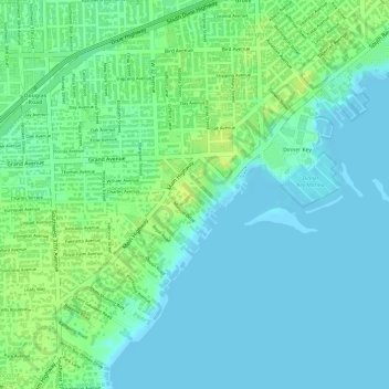
Name: The Barnacle Historic State Park topographic map, elevation, terrain.
Average elevation: 23 ft
Minimum elevation: -7 ft
Maximum elevation: 56 ft
Other topographic maps
Click on a map to view its topography, its elevation and its terrain.
Lummus Park
Lummus Park, Miami, Miami-Dade County, Florida, USA
Average elevation: 33 ft