
South Triangle Pond topographic map
Interactive map
Click on the map to display elevation.
About this map
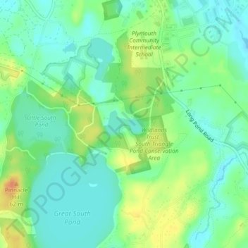
Name: South Triangle Pond topographic map, elevation, terrain.
Average elevation: 121 ft
Minimum elevation: 72 ft
Maximum elevation: 207 ft
Other topographic maps
Click on a map to view its topography, its elevation and its terrain.
Ellisville Harbor
USA > Massachusetts > Plymouth
Ellisville Harbor, Plymouth, Plymouth County, Massachusetts, USA
Average elevation: 36 ft