
Rimatara topographic map
Interactive map
Click on the map to display elevation.
About this map
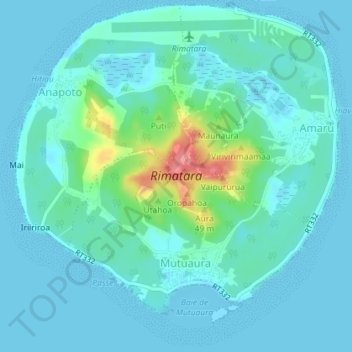
Name: Rimatara topographic map, elevation, terrain.
Location: Rimatara, Îles Australes, Polynésie française, France (-22.66801 -152.82466 -22.63484 -152.78873)
Average elevation: 43 ft
Minimum elevation: 0 ft
Maximum elevation: 269 ft