
Kadovar topographic map
Interactive map
Click on the map to display elevation.
About this map
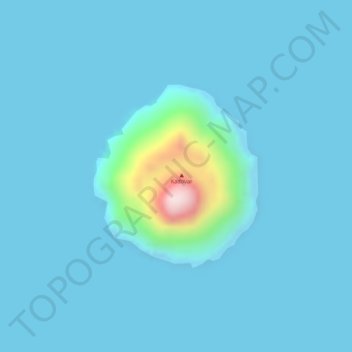
Name: Kadovar topographic map, elevation, terrain.
Average elevation: 89 ft
Minimum elevation: -3 ft
Maximum elevation: 1,234 ft
Other topographic maps
Click on a map to view its topography, its elevation and its terrain.
Blup Blup
Blup Blup, Wewak District, East Sepik, Momase Region, Papua-Neuguinea
Average elevation: 256 ft
Sepik River
Sepik River, Ambunti District, East Sepik, Momase Region, Papua-Neuguinea
Average elevation: 2,126 ft