
Mohara topographic map
Interactive map
Click on the map to display elevation.
About this map
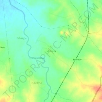
Name: Mohara topographic map, elevation, terrain.
Location: Mohara, Godda, Jharkhand, India (24.75275 87.15939 24.79275 87.19939)
Average elevation: 358 ft
Minimum elevation: 299 ft
Maximum elevation: 443 ft