
Krka topographic map
Interactive map
Click on the map to display elevation.
About this map
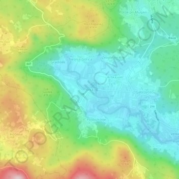
Name: Krka topographic map, elevation, terrain.
Location: Krka, Osrednjeslovenska, 1301, Slovenia (45.86227 14.75939 45.90227 14.79939)
Average elevation: 1,243 ft
Minimum elevation: 843 ft
Maximum elevation: 2,028 ft