
Elwood topographic map
Interactive map
Click on the map to display elevation.
About this map
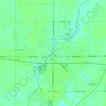
Name: Elwood topographic map, elevation, terrain.
Location: Elwood, Madison County, Indiana, 46036, United States (40.25870 -85.86134 40.29809 -85.80396)
Average elevation: 866 ft
Minimum elevation: 846 ft
Maximum elevation: 873 ft