
Tinah topographic map
Interactive map
Click on the map to display elevation.
About this map
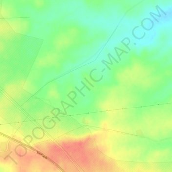
Name: Tinah topographic map, elevation, terrain.
Location: Tinah, Ar-Raqqah, Syria (36.41333 38.81333 36.45333 38.85333)
Average elevation: 1,184 ft
Minimum elevation: 1,106 ft
Maximum elevation: 1,273 ft