
Katerini topographic map
Interactive map
Click on the map to display elevation.
About this map
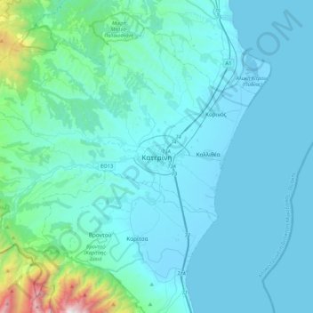
Name: Katerini topographic map, elevation, terrain.
Location: Katerini, Δήμος Κατερίνης, Macedonia - Thrace, 601 00, Greece (40.11136 22.34876 40.43136 22.66876)
Average elevation: 610 ft
Minimum elevation: -13 ft
Maximum elevation: 6,991 ft