
Red Oak topographic map
Interactive map
Click on the map to display elevation.
About this map
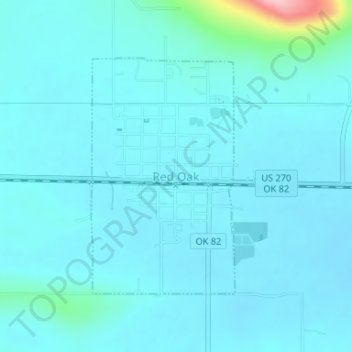
Name: Red Oak topographic map, elevation, terrain.
Location: Red Oak, Latimer County, Oklahoma, 74563, United States (34.94190 -95.08819 34.96001 -95.07470)
Average elevation: 620 ft
Minimum elevation: 561 ft
Maximum elevation: 1,158 ft