
Viesville topographic map
Interactive map
Click on the map to display elevation.
About this map
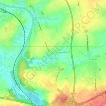
Name: Viesville topographic map, elevation, terrain.
Location: Viesville, Pont-à-Celles, Hainaut, Wallonia, 6230, Belgium (50.47202 4.38109 50.50964 4.42636)
Average elevation: 459 ft
Minimum elevation: 361 ft
Maximum elevation: 581 ft