
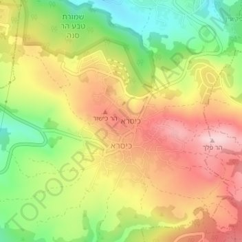
Kisra topographic map
Interactive map
Click on the map to display elevation.
About this map
Name: Kisra topographic map, elevation, terrain.
Location: Kisra, Kisra - Sumei, North District, Israel (32.95773 35.29493 32.97356 35.31098)
Average elevation: 2,192 ft
Minimum elevation: 1,765 ft
Maximum elevation: 2,579 ft