
Listowel topographic map
Interactive map
Click on the map to display elevation.
About this map
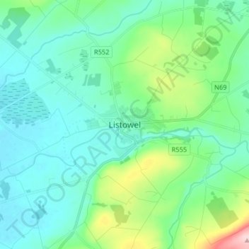
Name: Listowel topographic map, elevation, terrain.
Location: Listowel, County Kerry, Munster, Ireland (52.40723 -9.52468 52.48723 -9.44468)
Average elevation: 144 ft
Minimum elevation: 10 ft
Maximum elevation: 669 ft