
Putse Moer topographic map
Interactive map
Click on the map to display elevation.
About this map
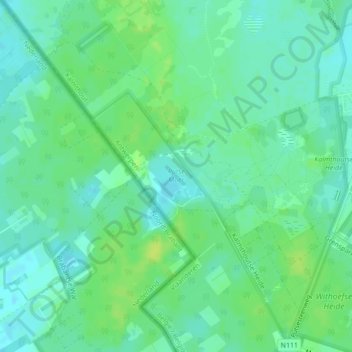
Name: Putse Moer topographic map, elevation, terrain.
Location: Putse Moer, GP 305, Kalmthout, Antwerp, Flanders, 2920, Belgium (51.37948 4.42585 51.38314 4.43665)
Average elevation: 72 ft
Minimum elevation: 49 ft
Maximum elevation: 98 ft