
Bristol topographic map
Interactive map
Click on the map to display elevation.
About this map
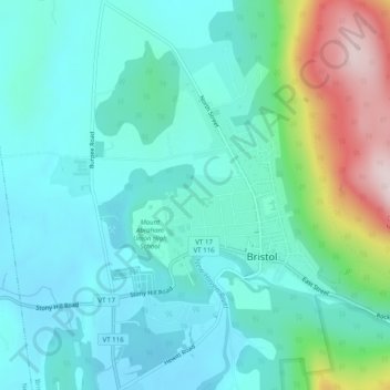
Name: Bristol topographic map, elevation, terrain.
Location: Bristol, Addison County, Vermont, United States (44.12114 -73.10021 44.15665 -73.05438)
Average elevation: 682 ft
Minimum elevation: 374 ft
Maximum elevation: 1,778 ft