
Pray topographic map
Interactive map
Click on the map to display elevation.
About this map
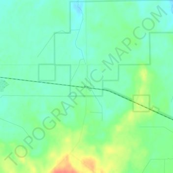
Name: Pray topographic map, elevation, terrain.
Location: Pray, Jackson County, Wisconsin, United States of America (44.35330 -90.51736 44.39330 -90.47736)
Average elevation: 991 ft
Minimum elevation: 938 ft
Maximum elevation: 1,093 ft