
Fulton topographic map
Interactive map
Click on the map to display elevation.
About this map
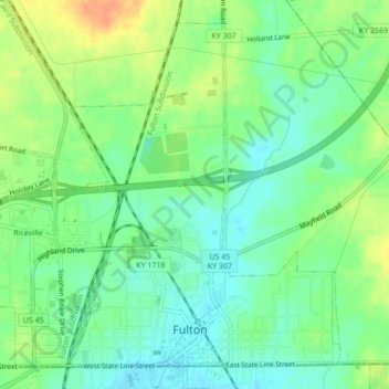
Name: Fulton topographic map, elevation, terrain.
Location: Fulton, Fulton County, Kentucky, United States of America (36.50236 -88.90149 36.53282 -88.85857)
Average elevation: 407 ft
Minimum elevation: 354 ft
Maximum elevation: 479 ft