
St. David topographic map
Interactive map
Click on the map to display elevation.
About this map
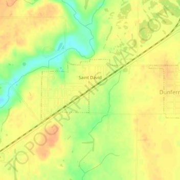
Name: St. David topographic map, elevation, terrain.
Average elevation: 627 ft
Minimum elevation: 548 ft
Maximum elevation: 663 ft
Other topographic maps
Click on a map to view its topography, its elevation and its terrain.
Saint David
United States of America > Illinois > St. David > Saint David
Saint David, St. David, Fulton County, Illinois, 61563, United States of America
Average elevation: 627 ft