
Tijeras topographic map
Interactive map
Click on the map to display elevation.
About this map
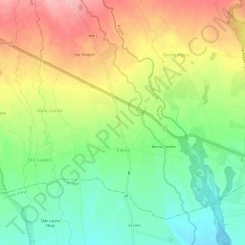
Name: Tijeras topographic map, elevation, terrain.
Location: Tijeras, Distrito Boquerón, Panama (8.45208 -82.59499 8.49863 -82.53540)
Average elevation: 400 ft
Minimum elevation: 190 ft
Maximum elevation: 653 ft