
Atkins topographic map
Interactive map
Click on the map to display elevation.
About this map
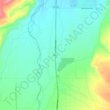
Name: Atkins topographic map, elevation, terrain.
Location: Atkins, Gallatin County, Montana, United States of America (45.60132 -111.21718 45.64132 -111.17718)
Average elevation: 4,888 ft
Minimum elevation: 4,780 ft
Maximum elevation: 5,161 ft