
Atmakur topographic map
Interactive map
Click on the map to display elevation.
About this map
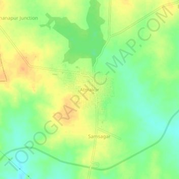
Name: Atmakur topographic map, elevation, terrain.
Location: Atmakur, Atmakur mandal, Wanaparthy, Telangana, 509131, India (16.31732 77.78546 16.35732 77.82546)
Average elevation: 1,056 ft
Minimum elevation: 1,001 ft
Maximum elevation: 1,106 ft