
Opelika topographic map
Interactive map
Click on the map to display elevation.
About this map
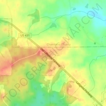
Name: Opelika topographic map, elevation, terrain.
Location: Opelika, Lee County, Alabama, United States of America (32.72804 -85.39339 32.72946 -85.39030)
Average elevation: 784 ft
Minimum elevation: 696 ft
Maximum elevation: 856 ft