
San Gregorio topographic map
Interactive map
Click on the map to display elevation.
About this map
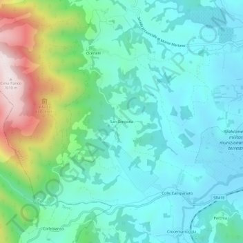
Name: San Gregorio topographic map, elevation, terrain.
Location: San Gregorio, Spoleto, Perugia, Umbria, 06049, Italy (42.71426 12.60956 42.75426 12.64956)
Average elevation: 1,588 ft
Minimum elevation: 1,056 ft
Maximum elevation: 3,301 ft