
Holt topographic map
Interactive map
Click on the map to display elevation.
About this map
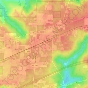
Name: Holt topographic map, elevation, terrain.
Location: Holt, Okaloosa County, Florida, 32546, United States (30.69575 -86.76579 30.73575 -86.72579)
Average elevation: 174 ft
Minimum elevation: 49 ft
Maximum elevation: 223 ft