
Retijë topographic map
Interactive map
Click on the map to display elevation.
About this map
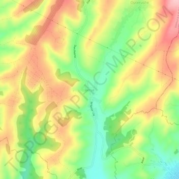
Name: Retijë topographic map, elevation, terrain.
Location: Retijë, Municipality of Rahovec / Orahovac, 20540, Kosovo (42.33179 20.68140 42.37179 20.72140)
Average elevation: 1,362 ft
Minimum elevation: 1,086 ft
Maximum elevation: 1,640 ft