
Waddepalle topographic map
Interactive map
Click on the map to display elevation.
About this map
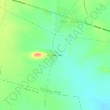
Name: Waddepalle topographic map, elevation, terrain.
Average elevation: 1,001 ft
Minimum elevation: 945 ft
Maximum elevation: 1,099 ft
Other topographic maps
Click on a map to view its topography, its elevation and its terrain.
Waddepalle
India > Telangana > Waddepalle
Waddepalle, Raipole mandal, Siddipet, Telangana, India
Average elevation: 1,916 ft