
Englishtown topographic map
Interactive map
Click on the map to display elevation.
About this map
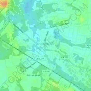
Name: Englishtown topographic map, elevation, terrain.
Location: Englishtown, Monmouth County, New Jersey, United States (40.28915 -74.37163 40.30438 -74.35308)
Average elevation: 85 ft
Minimum elevation: 49 ft
Maximum elevation: 180 ft