
Oakleaf topographic map
Interactive map
Click on the map to display elevation.
About this map
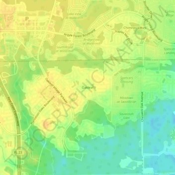
Name: Oakleaf topographic map, elevation, terrain.
Location: Oakleaf, Clay County, Florida, 32222, United States (30.16270 -81.83294 30.20270 -81.79294)
Average elevation: 59 ft
Minimum elevation: 7 ft
Maximum elevation: 89 ft