
Fort Myers Shores topographic map
Interactive map
Click on the map to display elevation.
About this map
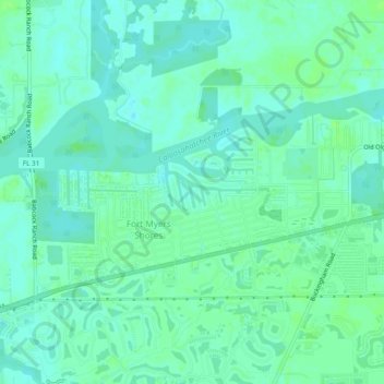
Name: Fort Myers Shores topographic map, elevation, terrain.
Location: Fort Myers Shores, Lee County, Florida, United States (26.70146 -81.76081 26.72528 -81.71246)
Average elevation: 16 ft
Minimum elevation: 0 ft
Maximum elevation: 33 ft