
Noah topographic map
Interactive map
Click on the map to display elevation.
About this map
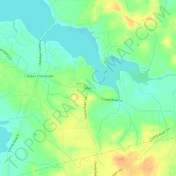
Name: Noah topographic map, elevation, terrain.
Location: Noah, Cherokee County, Alabama, United States (34.11232 -85.57857 34.15232 -85.53857)
Average elevation: 597 ft
Minimum elevation: 535 ft
Maximum elevation: 696 ft